Virignia Supercell

Last modified: August 1, 2011
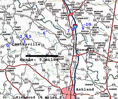
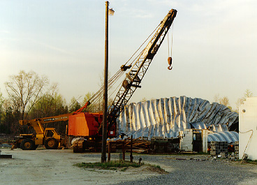
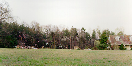
On April 1, 1998, a tornado killed a woman and her infant son in Hanover County, Virginia. Sheila Giles and her baby Jeremiah were inside their frame and brick house when it was completely leveled by the twister. Her husband had just walked to his father-in-law's house to warn him of the approaching storm. Both survived without injury. The storm damaged several other homes and a church in the Coatesville area of Hanover, County Virginia then continued East damaging several other homes and uprooting trees. It damaged another church south of Noel, then continued into Caroline County where more homes and businesses were damaged. A store and construction yard where damaged and a truck was blown off Route 1. On the other side of I-95, a mobile home was completely destroyed and several other homes were damaged.
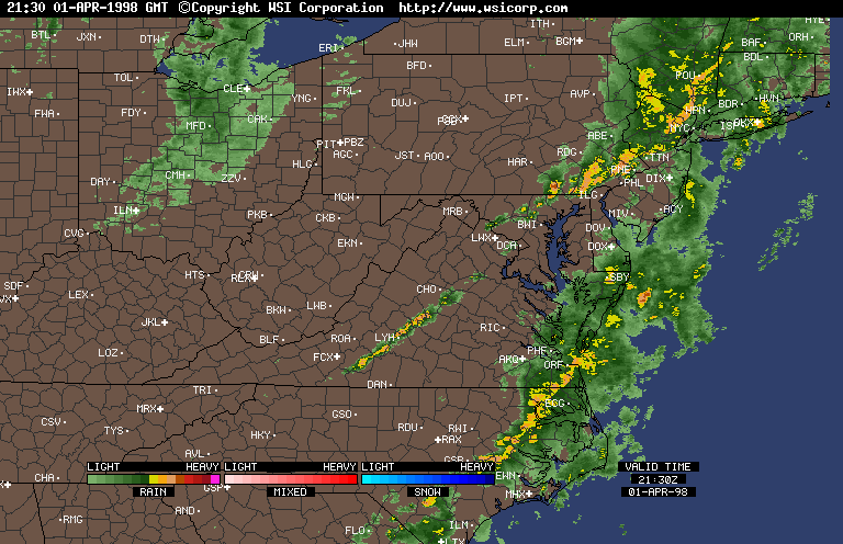
The Coatesville tornado formed from an unusally (for Virginia) long-lived supercell. There was a low near the eastern Great Lakes and an approaching cold front from the west. Winds ahead of the front were southerly and warm. The upper-level winds were favorable for super-cell formation; however, development was initially inhibited by clouds which reduce surface heating. After the initial storms which produced a tornado in Lunenberg county, the skies cleared allowing for surface heating. CAPES rose to the 1500-2000 J/Kg range which is enough energy to support severe storm development.
By late afternoon, I noticed towers developing around Charlottesville. They were crisp and slightly sheared which is an indication of a favorable environment for severe storms. Eventually, a line of storms just north and east of Charlottesville appeared on the radar. The flanking storms died leaving a central storm with no competition for energy. This was the storm that became a supercell and produced the Coatesville tornado.
Radar Loop of the storms from Intellicast.
My deepest sympathies to all the victims of this storm. To help, please send donations via the Red Cross.
American Red Cross
P.O. Box 655
Richmond, Va 23205
(804) 780-2250
Number of visitors since July 1, 1998:
Return to Storm Chase Accounts and Photos
For more weather and tornado photos plus butterfly, comet and wildlife photos, guestbook, return to Bill's Photo Page
This page was initially compiled by William T. Hark on April 5, 1998.
Questions, comments & complaints, please E-mail me:
Wthark@aol.com