
View west on Route 6
in Goochland CO, VA. 2:20 PM EDT.
Non-rotating lowering.

View north on 288
in Goochland CO, VA. 2:45 PM EDT.

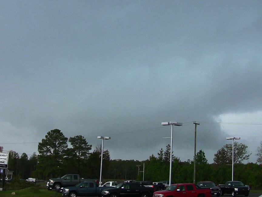
View north on I-95
in Hanover CO, VA. 2:58 PM EDT.
Non-rotating wall cloud.
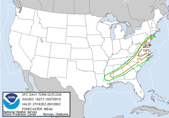
This was an unexpected chase day that ended while trying to follow a tornadic supercell through the Richmond metropolitan area. I had not intended on chasing though I did have the afternoon off. There was an approaching cold front and a broad area of decent southwesterly flow across the Mid-Atlantic. Low level moisture and heating were good and storms were expected to form ahead of the front. I really don't like chasing with southwesterly surface and 850 mb winds because the conditions often don't produce nice photogenic tornadoes. I was expecting a messy line of storms. At lunch, I rechecked data and was impressed by the high dewpoints, potential low LCL's and upper level dynamics. The SPC had issued a Slight Risk but there was an area of 10% tornado risk for Central Virginia. I couldn't ignore this outlook. I rushed home, gathered my equipment and was on the road by 1:30PM. Unfortunately, I was having trouble with my GPS splitter and could only run WX WORX, not GRLevel 3 or SpotterNet.
My target area was just west of Richmond. I had another target area in North Carolina by the Virginia border but I couldn't reach it in time. There was a small area of development in Buckingham County that was moving northeast. I headed west on I-64 and then south at Oilville along 670. I turned west on 6 and could see the storm as I neared the correctional center west of Crozier. The storm already had a nice lowering and was isolated. I watched it intensify. I turned back east, then north of 623 eventually reaching I-64. The storm was rapidly moving northeast and I followed along 295 to I-95. The storm continued to have lowerings (non-rotating) but was not developing as fast as I wanted. I turned north on I-95 and watched it cross the interstate. I turned onto 301 north trying to keep up with the storm. Just east of Ashland, I turned east onto River Road. The storm was falling apart, and I gave up after several miles. At least the scenery was beautiful as I passed trees yellow with fall foliage and green pastures.
Parked along the side of 301, I checked the radar and noticed another isolated storm forming near Buckingham County. This would be my new target. I drove south to 295, then west to 288. This north-south road west of Richmond provides easy access to areas south of the James River. The storm was rapidly strengthening. At the 288/60 intersection, I turned west. I could see intermittent C-G's but no real structure. The storm was quickly moving east. It was tornado warned but no visible funnels. I shifted back eastward watching the storm that had an HP appearance. There was intermittent inflow and the storm was cycling in intensity. Unfortunately, the storm was directly targeting downtown Richmond during rush hour. After it passed, I had planned on swinging around to the north of the storm via 288 and east on 295 with another intercept east of Richmond in Mechanicsville. I called my wife to make sure that she was in the basement. I initially made good time but hit very slow traffic north of Richmond on 295. The storm to my south got ahead of me and I missed an interception possibility in Mechanicsville. At that point, I couldn't catch up and ended the chase by turning off onto Mechanicsville Turnpike. I later heard about extensive tornado damage in northern Richmond and the Mechanicsville area. If I had not encountered the traffic, I would have been able to get ahead of the storm and have seen the tornado that crossed 295 near Mecanicsville Turnpike. Fellow chaser, Bill Coyle, was able to reach the Mechanicsville area and saw a brief funnel and was very close to the ground circulation. Congratulations to Bill. The Wakefield National Weather Service later rated the tornado as an EF1 that traveled across Richmond and into Mechanicsville for a path length of 11.5 miles.
 View west on Route 60 in Powhatan CO, VA. 4:34 PM EDT. Wall cloud, tornado-warned storm |
 View northwest at intersection of 288 and 60, west of Richmond. 4:45 PM EDT. HP supercell |
WxWorx (Mobile ThreatNet) radar images of tornadic storm over Richmond and my GPS position
 5:00 PM EDT |
 5:05 PM EDT |
The red circle shows the area of greatest shear. The white spot in the center of the rings is my position.
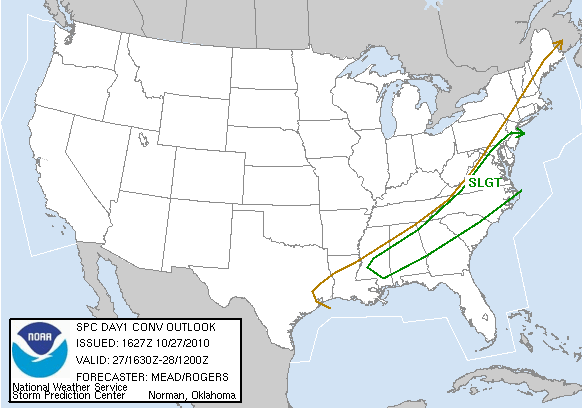
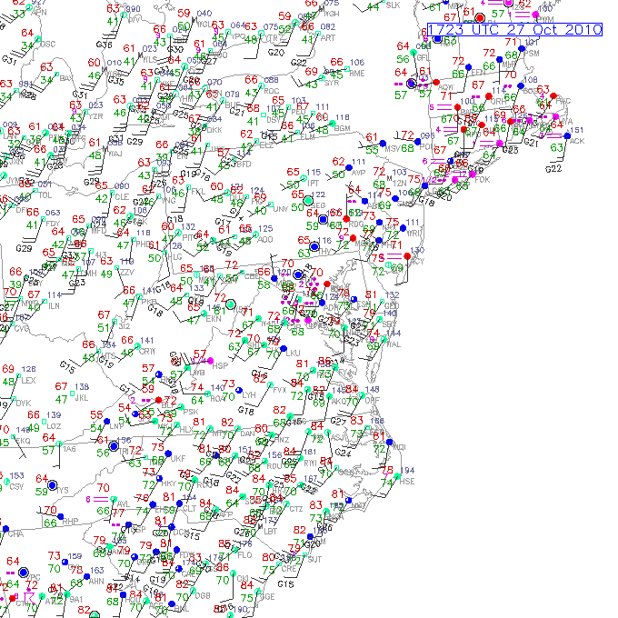
Surface, satellite and other weather data and convective outlooks
| Day 1 1630Z graphic | Day 1 1630Z tornado outlook | tornado watch info | Day 1 1630Z text and graphics |
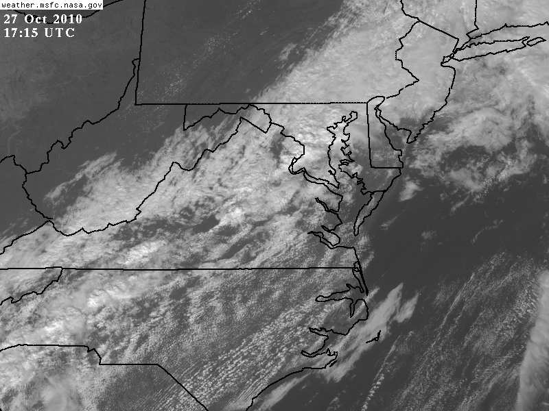
| MCD 2019,MCD 2021,MCD 2024 | Prelim storm report map | Surface Obs 1:23 PM EDT | Satellite Image 1:15 PM EDT |
Return to Storm Chase Accounts