
Watching tornado video at
Rocky's storm chaser picnic

Way too much good food


Monitoring weather data at
Rocky's party

Brad Rousseau and the dog


Mark Robinson checking out Rocky's
storm cellar
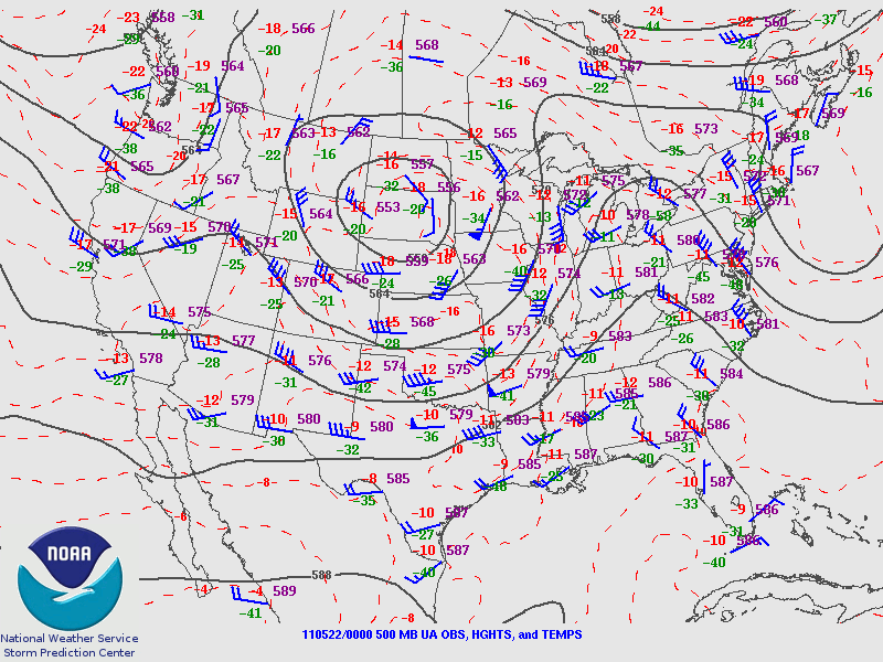
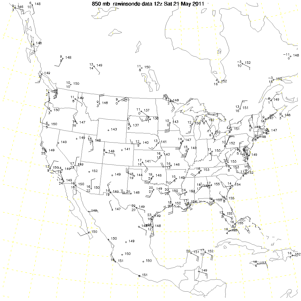
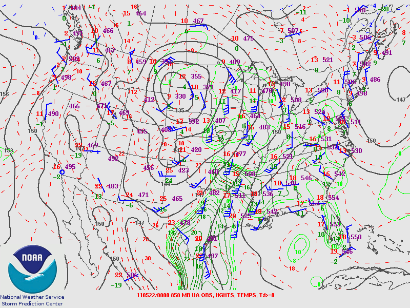
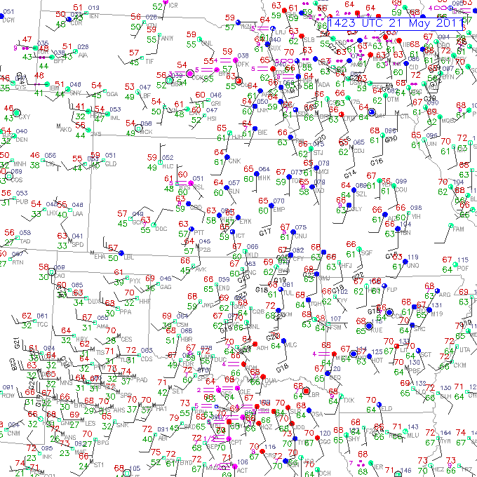
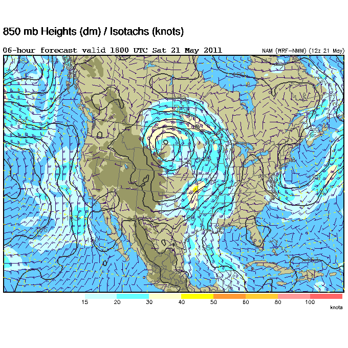
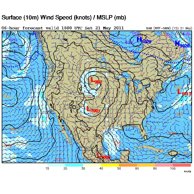
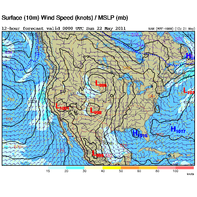
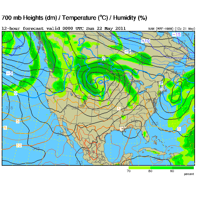
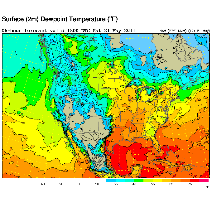
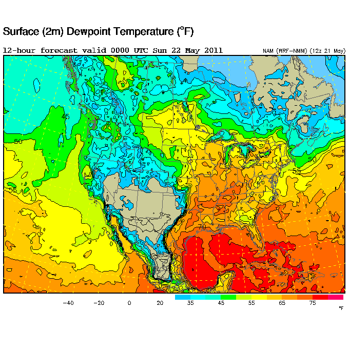
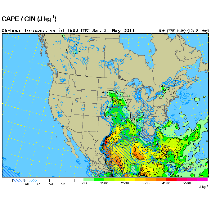
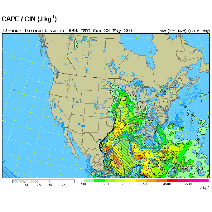
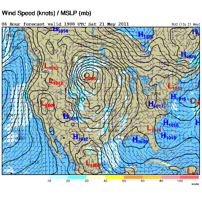
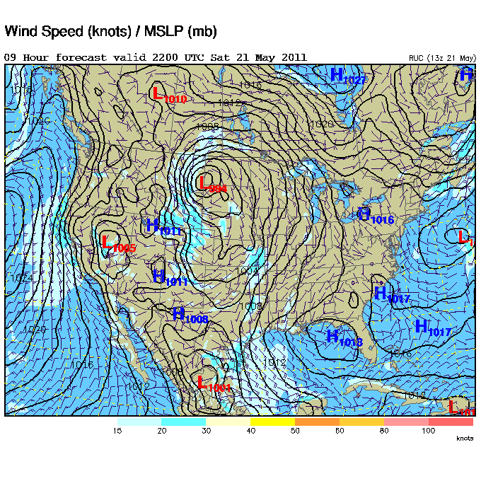
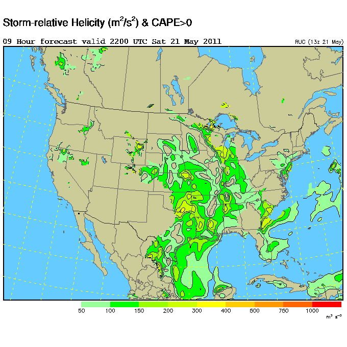
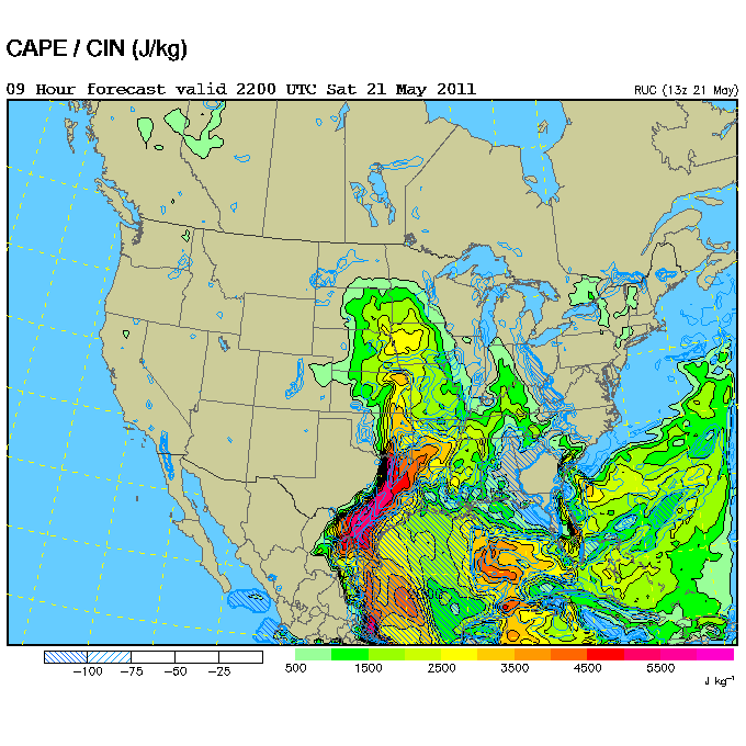
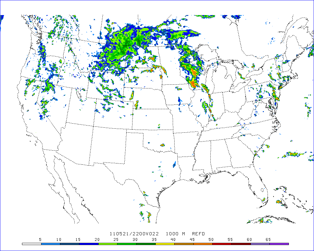
I was chasing with Dave Lewison along with Scott McPartland and Canadians, Mark Robinson, Brad Rousseau, Meghan Yeo, Dayna Vettese and Heather Reynolds. Chris Kridler had already decided to chase in the Ardmore area. Jason and Robert stayed in Wichita the previous evening and Jason hit a deer near the city. Luckily, he was not injured but had to spend part of the day changing rental cars. I started in Enid, Oklahoma and had initially planned on not chasing and just going to Rocky's picnic. Every year, Rocky Rascovic has a big storm chaser picnic at his farm just northwest of Oklahoma City in Piedmont. The party is moved to the next weekend if severe weather is predicted for the day of the party. Saturday, May 21, initially appeared to be so marginal that the picnic was given a “go ahead” on Friday. On Saturday, the day of the party, the chasing prospects had improved slightly but were still poor. There was a closed low over southwestern South Dakota and 40 kt winds over southern Oklahoma that were expected to increase. At the surface, the winds were weak but from the south to southeast in southwestern Oklahoma and eastern Kansas . Expected dewpoints would be in the low 60's. CAPE, according to the NAM. would reach 2500 to 3000 J kg-1 by evening in eastern Oklahoma. Storms could form along the dryline as it shifted eastward. The most interesting model outlook was the 22hr WRF showing an isolated cell in south central Oklahoma. Unfortunately, the models showed expected 850 mb winds from the southwest. Generally, veered 850 mb winds don't produce photogenic tornadoes. The SPC did issue a slight risk for eastern Oklahoma and southeastern Kansas. (5% tornado risk). Some chasers blew off the picnic to chase or were out of range to attend. Others planned on attending the party and not chase. After reviewing data, we then had the difficult decision of chasing vs attending Rocky's party. We also had to consider getting in position for Sunday. There were two possible Saturday targets: northeastern Kansas and southeastern Oklahoma. The Kansas target was away from both the party and a potential target on Sunday. Finally we decided to head south, stop by Rocky's house, and monitor the situation to our south. Rocky and his family had already purchased the food and had spent a lot of time setting up for the party. Our tentative target was a diffuse area from Ada to Ardmore, Oklahoma. We had a great time at Rocky's and stayed a bit too long chatting, eating, checking out the storm shelter and playing with the multitude of dogs, cats and horses. Attendance was lower than usual but we enjoyed seeing a lot of friends and meeting new chasers. We also monitored weather data from his house.
|
Watching tornado video at Rocky's storm chaser picnic |
Way too much good food |
|
Monitoring weather data at Rocky's party |
|
Brad Rousseau and the dog |
|
|
Mark Robinson checking out Rocky's storm cellar |
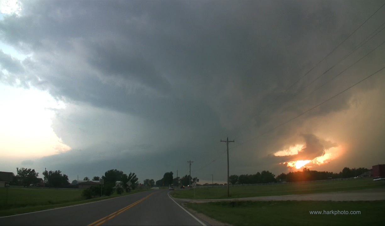
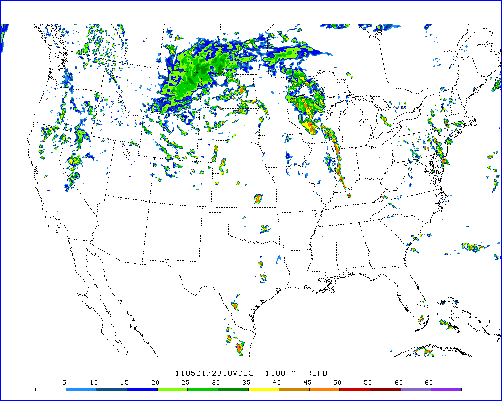
By late in the afternoon, there were signs of development southwest of Oklahoma City near Ada. A distant storm was visible poking over the horizon. After some delay, we left the party at 6PM. It was like a scene from Twister where storm chasers have a relaxing dinner and then blast out to chase a storm. From the farm in Piedmont, we cut across some back roads and eventually turned south on I-35. The storm was rapidly intensifying. From a distance, the storm had a beautiful crisp updraft. Chris Kridler, who blew off the party to chase, reported a rotating wall cloud on the initial storm and later brief tornadoes. We were concerned that we would arrive too late. We were 4 miles from Purcell by 7:08 PM. As we vectored toward Ada, Oklahoma, there was some additional development to the north of the main storm. Near Ada, a storm the north of the initial storm was showing signs of rotation while the southern storm was dying. It was 8:04 PM. Since we were closer to the northern storm, we decided to intercept that storm rather than going after the initial storm. We drove toward Ada, then west on 19. Road options were limited. Although one usually targets the southern storm, in this case, the southern or initial storm was rapidly weakening. West of Ada, we got an amazing view of the updraft and inflow bands through the trees. Our group stopped at the unincorporated town of Gaar Corner at 8:15 PM and watched the storm to our west. There was a large inflow band from the north and rotation to our west along with a bowl-shaped lowering. We observed a few needle funnels by 8:23 PM and more rapid rotation of the entire mesocyclone. There was a report of a multivortex tornado but nothing was visible due to a line of trees. At 8:24PM, we shifted back east to get out of the precipitation. We stopped after a brief spinup was observed and were able to see a cone tornado form and cross the road to our west. The tornado nicely formed between trees on both sides of 19 at 8:31PM and lifted by 8:33 PM. It was a most cooperative tornado! A guy in a truck pulled off by our position, asked a few question and roared off toward the tornado. The driver said he was checking on his family. Although brief, the tornado was beautiful as it was silhouetted against a yellow-orange sky. We headed east. I could see a ragged wall cloud to the northwest at 8:37 PM but no tornado. At 8:38, there was a slight funnel but but unclear if there was a tornado. We turned northwest on 3W watching the storm cross that road. At 8:48 PM, there may have been another brief tornado but visibility was poor. As it was getting dark, the chase ended, and we had the traditional celebratory steak dinner at the Ada Applebees. The entire restaurant was filled with successful and happy chasers (30 or 40?) and we had a fun time talking and comparing videos and experiences. After dinner, we headed to Ardmore for the night.
May 21, 2011 is one of my favorite chase days. Rarely does one have a relaxing afternoon hanging out with other chasers at a party, have a short drive to the target, see a beautiful tornado that does little damage and no injuries and end the day with a steak dinner at a chaser convergence.
Go to May 22, 2011 Storm Chase


